- Features
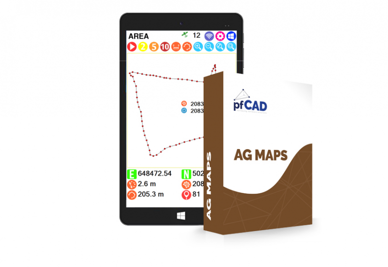
AgMaps is the new agricultural area meter developed for Windows operating systems.
- Management and storage of your farmland
- Recording in manual mode or every 2.5, 10 seconds
- The survey is displayed in real time on the screen of a tablet or a normal portable PC
- Functions to query distance between two points, query route, perimeter or area
- Possibility to eliminate the detected points or insert new known coordinate points
- Survey export in DXF format
Other products in the same category
Supertrack
Guida satellitare e sistemi avanzati per macchine agricole
view details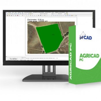
agriCAD PC
Machining management, accounting and mapping
view details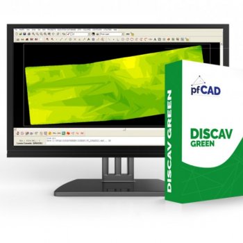
disCAV Green
Design and calculation of volumes for agricultural leveling
view details
Discav Control Machine
Management of the 3D project on the machine
view details